
As an Amazon Associate, I earn from qualifying purchases.
Exploring remote gravel routes offers a unique adventure. It’s even more thrilling when you navigate without GPS.
Traveling GPS-free can seem daunting at first. Yet, it provides a rewarding experience, connecting you more deeply with your surroundings. Analog tools, like maps and compasses, have guided explorers for centuries. They allow you to develop your skills and trust your instincts.
Using these tools can make your journey more meaningful and memorable. In this blog, we will explore how to use these traditional methods effectively. Whether you’re new to gravel routes or a seasoned rider, you’ll find valuable tips here. Let’s dive into the world of analog navigation and embrace the adventure.
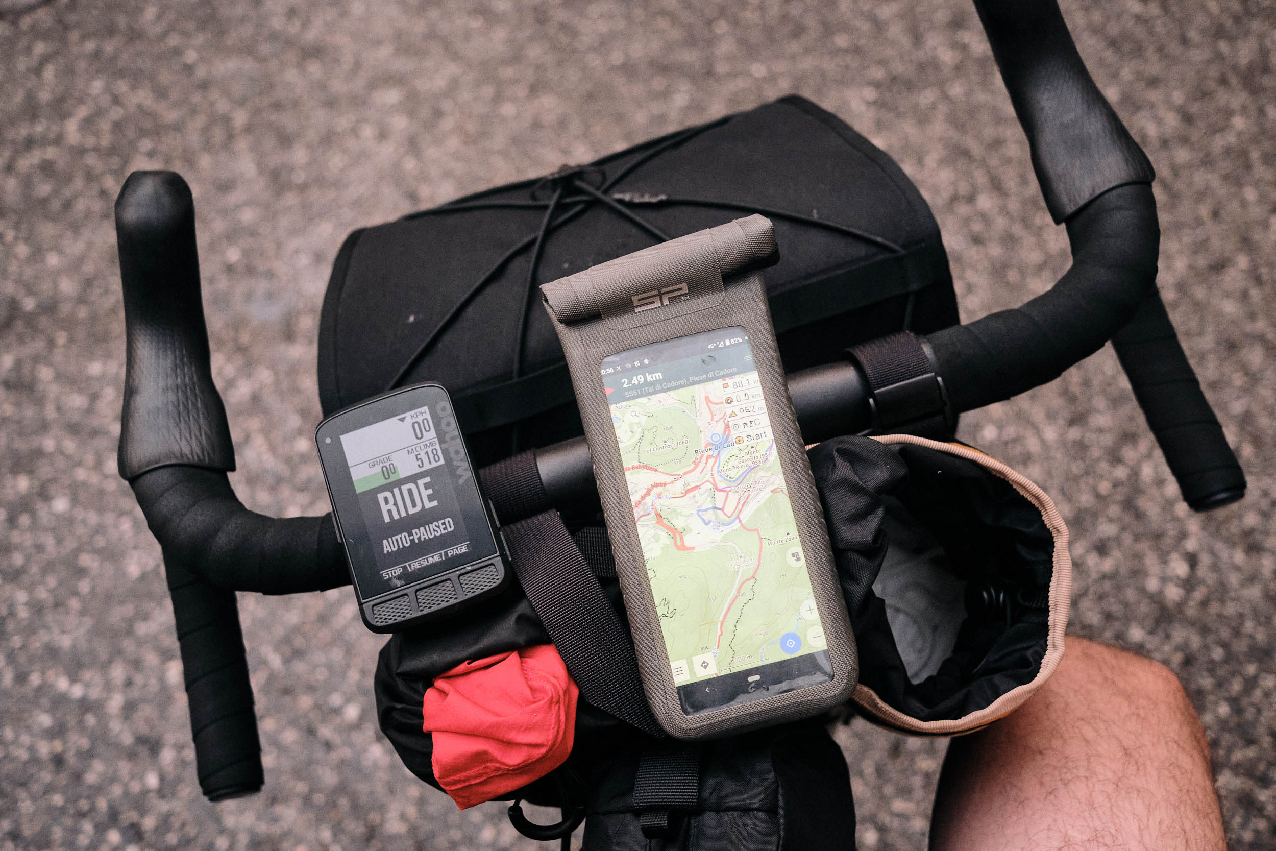
Credit: bikepacking.com
Digital tools can fail. Batteries die. Signals get lost. Analog tools help in these times. They never run out of power. Maps and compasses do not need batteries. They work anywhere. Knowledge of these tools is crucial. It keeps you safe. Practice makes you better. It builds confidence. You can trust in these tools.
Gravel roads are tricky. They are often unmarked. Weather changes quickly. Conditions can become hard. Getting lost is easy. Paths can be confusing. Communication can be difficult. Phones may not work. Preparation is key. Know your route. Have backup plans. It keeps you safe.
Maps And Atlases
Maps come in many forms. Some show roads, others show trails. The best map for gravel routes shows both. Look for a map with topographic details. It helps you see hills and valleys. Waterproof maps are good. They survive rain and spills. Foldable maps are easy to carry. They fit in your pocket or bag. Detailed maps help you find landmarks. This makes it easier to stay on track.
Maps can be tricky. Learn the symbols. They show roads, rivers, and more. Check the scale. It tells you how far things are. North is usually at the top. This helps you know direction. Contour lines show elevation. Close lines mean steep hills. Practice reading maps. It gets easier with time. Always have a compass. It works with the map to guide you.
A baseplate compass is great for map reading. It has a clear base and is easy to use. A lensatic compass is used by the military. It helps with precise aiming. A thumb compass is small and fits on your thumb. It is often used in orienteering. Each type has its own benefits. Choose the one that fits your needs. Ensure it’s accurate and reliable.
Place your map on a flat surface. Align the compass with the map’s north. Match the compass needle with the map’s north. Turn the map and compass together. Keep them aligned. Look at the map and compass together. See where you need to go. Take your first step. Keep checking your direction. Stay on your path.
Using A Sextant
The sextant is a historic navigation tool. Sailors used it to find their position at sea. It measures the angle between two objects. For example, the horizon and a star. This helps to find latitude. A sextant has a small telescope and a mirror. The user lines up the horizon with a star. Then, they read the angle. This angle helps calculate the position.
Cyclists can use a sextant to navigate remote routes. It works even without GPS. First, they need a good map. They find their starting point. Then, they use the sextant to check their direction. This helps stay on the right path. It is a simple, reliable tool. No batteries needed. It works in all weather.
Natural Landmarks And Signs
Look for unique shapes and colors in nature. Big rocks, old trees, and rivers can help you find your way. These landmarks stay the same over time. They are easy to remember. Follow a path by keeping these landmarks in sight. Always mark where you start. This helps you return safely.
The sun rises in the east and sets in the west. Use this to find directions during the day. At night, find the North Star. It is the brightest star in the northern sky. The North Star helps you find north. Stars form patterns called constellations. Learn these patterns to guide you.
Pacing And Timing
Counting pedal strokes helps estimate distances. On flat paths, count 100 strokes. This equals about one mile. Use landmarks. Trees, rocks, or bends in the road work well. Write notes on a map or paper. Mark each mile or half-mile. This method keeps you on track.
Keep a steady pace to avoid fatigue. Start slow. Increase speed gradually. Use a watch to check time. Every 10 minutes, check distance covered. Drink water often. Small sips prevent dehydration. Take breaks when needed. Rest for five minutes each hour. This helps maintain energy.
Emergency Preparedness
First, map out your route. Share this map with a trusted contact. They should know your start and end points. Include check-in times in your plan. Tell them when you expect to reach these points. In case of delays, they will know to check on you.
Always carry a compass and a paper map. These tools never run out of battery. Pack a first aid kit. Include bandages, antiseptic wipes, and pain relievers. Bring enough food and water. Have a whistle to signal for help. A multi-tool can fix many problems. Matches or a lighter are also important. These items can save your life.
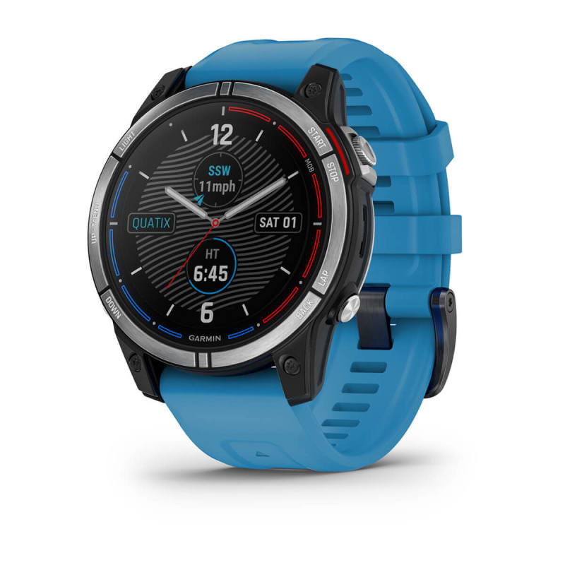
Credit: www.garmin.com
Combining Techniques
Using maps, a compass, and the stars can help you stay on track. A good map shows every detail of the area. A compass points north, so you always know your direction.
The stars guide you at night. Learn the main constellations. This way, you can find your way even in the dark. Combining these tools makes navigation easier.
Weather can change quickly. Rain or fog makes it hard to see. In such cases, rely on your compass. Trust your map. Keep checking your position often.
If you get lost, stay calm. Look for landmarks. Trees, hills, or rivers can guide you. Always be ready for changes. Being flexible helps you stay safe.
Conclusion And Best Practices
Using analog tools can be very helpful on remote gravel routes. Maps and compasses are reliable and do not need batteries. Paper maps show many details and are easy to read. A compass helps you find the right direction. Odometers can track distance covered. Altimeters show your altitude, which is useful on hilly routes.
Practice using these tools before your trip. Always carry a backup. Keep your tools in a safe, dry place. Share your route with a friend for safety.
Check out books and online guides about map reading and compass skills. Watch videos on how to use an odometer and altimeter. Join forums for advice from experienced travelers. Visit outdoor stores for hands-on learning.

Credit: www.rei.com
Frequently Asked Questions
Analog tools for navigation include maps, compasses, and odometers. These tools help you find your way without GPS.
Hold the compass level and point it towards your destination. Use the needle to align with magnetic north.
Why Choose Analog Tools Over Gps?
Analog tools are reliable and don’t require batteries. They work in remote areas where GPS signals may be weak.
Can Maps Be Used For Gravel Routes?
Yes, maps can be used for gravel routes. Ensure your map includes detailed topographical information.
Conclusion
Navigating remote gravel routes without GPS can be rewarding. Analog tools offer reliability. Maps and compasses do not rely on batteries. They improve your skills and connection with nature. Embrace these tools for a more authentic adventure. Safety and preparedness are key.
Enjoy the journey and the freedom it brings. Explore, learn, and grow with each ride. Analog navigation fosters confidence and independence. Happy trails!

Leave a Reply